
Centerville Neighbors by Record
A block search uses several small record sets, each with a narrow purpose. The Montgomery County property and GIS route establishes the parcel pattern around an address. The Recorder’s RISS can identify people or organizations recorded on a deed, mortgage, plat, or other instrument. Ohio voter information is an individual verification route with protected fields. A historical criss-cross directory can show what an edition printed at an address. City planning and community resources may add an address-specific project or local-history clue, but none forms a complete roll of everyone on the block.
| Source | What It Shows About a Block | Access |
|---|---|---|
| Auditor property search and GIS | Surrounding parcels and property context | Map and parcel workflow, not a people list |
| Centerville zoning parcel map | Parcel number, owner fields, property address, and selectable shapes | City Maps; query results cap at 1,000 |
| Recorder RISS | Recorded parties linked to a legal description or instrument | Guest search; check side and document type |
| Ohio voter lookup | Permitted registration information for an individual | Not a browseable public block roster |
| Haines criss-cross directory | Address-to-name lead in an inspected edition | Dayton Room; confirm edition coverage |
| City permits and community history | Released project records or local historical context | No utility, delivery, or complete member roster |
The most important boundary is owner versus occupant. A property result can support an ownership or mailing-record statement. It cannot show every person at the address, create a relationship between nearby households, or establish that a neighbor is currently present. Keep that distinction even when several adjacent parcels have similar names.
Note: A Centerville block record describes a parcel or document connection, not a complete account of the people at an address.
Map Centerville Neighbor Parcels
Centerville’s city zoning parcel map is particularly useful for a tight block workflow. Its search configuration includes a ParcelNumber starts-with field that requires spaces, such as O68 00136 0009. The display has ParcelNumber, OwnerName, OwnerAddress, OwnerAddress2, and Property_Address fields. Spatial selection can use a point, line, polyline, extent, circle, or polygon. Buffer choices include feet, miles, and meters, with a default 500. The map is a way to select parcels, not a public street-name, person-name, or ZIP search form.
- Find the target parcel using the property address or its parcel number. Confirm the parcel before selecting anything around it.
- Draw a small circle or extent around the parcel, or select the polygons that directly touch the area of interest. Do not assume a larger buffer is more accurate.
- Write down each returned parcel number and use the Montgomery County property record for that parcel. Read the parcel location, owner, and mailing fields as separate values.
- When a deed or plat is relevant, use the parcel’s legal description or reference in RISS. Confirm the person’s side of the instrument and the document type.
- Stop at the record boundary. The map does not identify an entire household, guests, private customers, or personal relationships.
The Centerville street directory is the better route when the question moves from a compact block to a full named street and its longer address record chain.
Centerville Neighbor Owner Records
The county property record is the crosswalk between the city map and the record of a specific parcel. A result list identifies Parcel ID, Owner, and Parcel Location. The detailed summary adds property mailing address and ownership, while the current owner is described as the buyer on the most recent sale. Sales and deed references help with a title trail. Valuation, tax, land, permits, value history, property photos, and GIS tabs each describe a different aspect of the parcel.
RISS answers a different question. Its By Municipality search includes CENTERVILLE and can be narrowed by lot and dates. By STR uses section, township, and range information. By Subdivision works from a recorded subdivision or lot, while By Name catches grantors, grantees, and other recorded parties. A name in a mortgage, lien, release, or plat does not say the same thing as a name in a deed. Label the instrument and role before calling a result an ownership connection.
| RISS field | Type | Required | Block-research use |
|---|---|---|---|
| Last/Firm Name | Text, up to 70 characters | Yes | Search a known recorded party after identifying the parcel. |
| First Name | Text, up to 70 characters | No | Use with the surname to distinguish a likely party. |
| Side(s) | Dropdown | No | Both, One, or Two helps identify the person’s recorded role. |
| Index Type | Multiple selection | Yes | Defaults include deeds, mortgages, partnerships, and UCC. |
| Start and End Date | Date fields | No | Use a short date window for a particular document trail. |
| Sort Order | Dropdown | No | Match, file date, file number, or type, ascending or descending. |
- Parcel
- A defined piece of land used in the county property and tax system.
- Situs address
- The address or location of the parcel itself, which may differ from where tax mail is sent.
- Recorded party
- A person or organization named on a recorded document. The document and side determine what the appearance means.
Note: RISS party names must be read with their document type and side before they are used in a Centerville neighbor search.
Centerville Neighbor Voter Limits
Ohio’s official Voter Lookup is useful only after an individual name is already known. It requires first name, last name, and county, with Montgomery selected for Centerville. A street-name dropdown can narrow a broad match, but the research did not identify a public street filter for building a block roster. Ohio’s DATA Act voter portal provides daily county snapshots as of 4 p.m., keeps them for at least 22 months, and allows a custom range of up to seven days. That availability does not override the law’s limits on use and protected information.
ORC 3503.13 excludes Social Security, driver-license or state-ID, phone, email, confidential-voter data, protected-worker redactions, citizenship proof, and other legally barred fields. The Montgomery County Board of Elections is the local access point for a permitted question or current portal issue. A missing record may reflect timing, a former name, an earlier address, cancellation, or protection. It is not a conclusion about a person’s current connection to the block.
Ohio’s voter-data portal documents the official snapshot and download route.
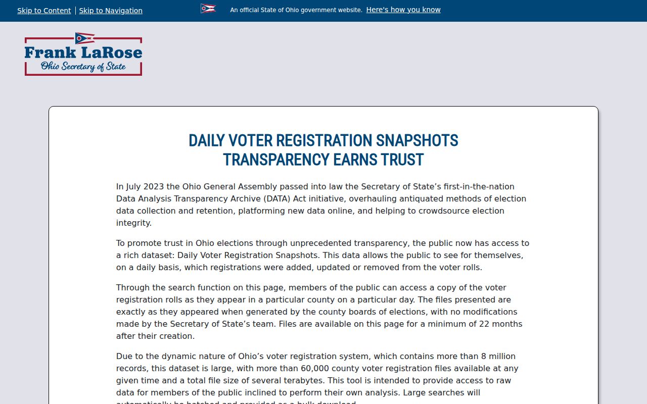
Its county and date controls show why a file is a time-bounded election record, not a complete and permanent directory of Centerville neighbors.
Centerville Neighborhood Watch Route
Community contacts can help a person engage with a block without pretending that there is a public membership list. Research identified the city’s Neighborhood Watch program as a program and contact route, not a published roster. Centerville-Washington History and its appointment-only Nutt Cottage Research Center provide a separate local-history route, with physical family files and surname-variant guidance. These are useful for community context or a dated local-family question, not for identifying current household members.
Centerville Neighborhood Watch
City program and contact route.
No public membership roster was identified in the research.
Centerville-Washington History
Local history, museums, publications, and Nutt Cottage.
89 W. Franklin St., Centerville
937-433-0123
Nutt Cottage Research Center
Physical family files and spelling-variant guidance.
Appointment route: 937-312-0040
Montgomery County Board of Elections contact information is the official local election-record channel.
The Board is appropriate for lawful questions about its records. It does not offer a substitute for private community contact or a public list of everyone on a block.
Centerville Neighbor History Clues
A present-day parcel map does not explain the age of a block or the sequence of past households. Centerville’s historic core around Main and Franklin ties to the 1796 plat and early stone buildings. Much of the city’s present neighborhood construction dates from 1959 through 1979. That contrast changes the likely trail. Early property work may require tract, deed, church, cemetery, and legal-description research. A postwar parcel is more likely to have a property, permit, suburban-directory, and recorded-deed path.
For a dated household clue, request a Haines Dayton City & Suburban Criss-cross Directory at the Dayton Room and confirm that the edition covers the address. Compare the directory year with a deed or tax year. The county’s historic holdings add deeds from 1805 to 1933, a deed index from 1805 to 1928, and tax duplicates from 1803 to 1983. They can bridge a modern parcel reference to older land records, but a past directory listing is not proof of a current household.
Centerville Block Era Numbers
Centerville and Washington Township are separate governments commonly understood as one community covering nearly 32 square miles. The city’s 2025 comprehensive plan identifies 1959 through 1979 as the dominant construction period for today’s neighborhoods, unlike the historic Four Corners core around Main and Franklin. Those numbers are useful when choosing a records trail. A postwar address may have a clearer property, permit, suburban-directory, and recorded-deed sequence, while an older location can require tract, cemetery, church, or early deed work.
The boundary labels matter too. A record around a Centerville block can use Centerville, Washington Township, Montgomery County, or a postal designation. Check the parcel and legal description before assuming the government name in one result identifies every surrounding address. The city map and county parcel record are the practical way to test that label for each lot.
Centerville Neighbor Tool Comparison
Official records and commercial neighbor-search categories serve different purposes. An official property, recorder, voter, court, or city record has an identified custodian and a defined field set. A private compilation may combine sources, omit dates, or carry stale and incomplete information. For a Centerville block, a parcel-by-parcel official trail makes it possible to state exactly what each source supports and to return to the keeper when a field is unclear.
| Official record route | Commercial neighbor-search category | Practical difference |
|---|---|---|
| Auditor and city map | Compiled address results | Official sources identify a parcel and field purpose; a compilation may not show its date or source. |
| Recorder RISS | Combined name and address listings | RISS identifies a recorded document and party role; a combined listing can blur that distinction. |
| Board of Elections access | Bulk personal profiles | Election access is governed by Ohio restrictions; a profile is not a substitute for the legal record. |
When a public office refuses or redacts a record, ask for the statutory basis and the office’s applicable procedure. A paid result is not a reason to work around a safeguard or assume the information is accurate.
Note: A dated official record with a named custodian is more useful than a compiled result that does not identify its source.
Centerville Neighbor Privacy Limits
Street-based records do not reveal every household member. The federal Driver’s Privacy Protection Act controls personal information from motor-vehicle records. Private utility, customer, and delivery records are not a public-record fallback. Ohio Safe at Home can shield address information for eligible survivors and household members. Court, voter, and vital records also have their own restrictions. Do not infer a protected person’s location from a gap in a search or attempt to rebuild it from scattered records.
Ohio’s Public Records Act, ORC 149.43, requires public offices to prepare existing public records promptly for inspection and copies at cost, while exemptions still apply. Centerville’s public-records policy states that city records are prepared promptly for inspection during regular business hours. A focused request should name the existing record, address, and time period, such as an address-linked permit or planning record. A permit can date work or name a responsible party as released, but it does not establish occupancy.
Ohio Revised Code 149.43 is the official text of the state public-records law.
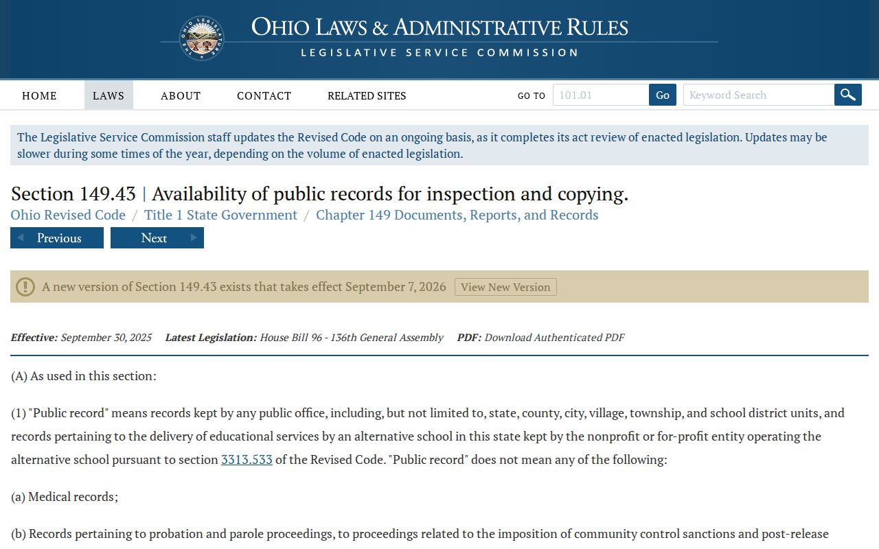
The statute frames access to public records, not access to private household details or a license to defeat a redaction.