
Tracing a Centerville Street Address
Centerville street research works best as a parcel trail, not as a request for everyone on a road. The Montgomery County Property Search connects a physical address to a parcel record. From there, the Auditor map and the Recorder can supply different kinds of evidence. A property result can identify the parcel location, listed owner, ownership and mailing information, but it does not establish who is currently present at the address. Use the city, county, and historical sources as separate dated records, then keep the result limited to what each source actually says.
- Enter the address in the Auditor search. The Number field is optional; enter the street name without a direction or suffix to browse parcel locations on a Centerville street.
- Save the Parcel ID, parcel location, legal description, and the distinction between the physical site and a tax mailing address. Those fields make later searches more precise.
- Open the linked GIS parcel context. Check the selected parcel and nearby parcel lines, but treat the map as land context rather than a list of people.
- Use the parcel facts, a party name, municipality, subdivision, legal description, book/page, or instrument reference in the Recorder's Information Search System to locate the relevant recorded document.
- For a dated household lead, ask the Dayton Room for a Haines criss-cross edition. If an individual name is already known, the official Ohio voter lookup can be a current registration check, not a street roster.
That order avoids a common jump from ownership to occupancy. It also keeps a current Centerville street search distinct from a historical address lookup, where a printed directory edition may be the better source.
Note: Start each Centerville street search with the parcel record, then keep the document and directory evidence tied to its own date.
Centerville Street Directory Search Fields
The Auditor's address screen is the strongest modern street tool for Centerville because it permits a broad street search without a house number. Its address directions say to leave off a direction and suffix from the Street Name entry. The same site also offers owner and parcel routes, but those serve different questions. An owner search is surname first, allows a wildcard, and has a 25-character limit. The parcel route accepts a formatted Parcel ID. Results can be sorted by Parcel ID, Owner, Parcel Location, Sale Price, or Sale Date, so the page can be used to organize a set of parcel records before inspecting each one.
See the Auditor's Real Estate resources before choosing a search mode.
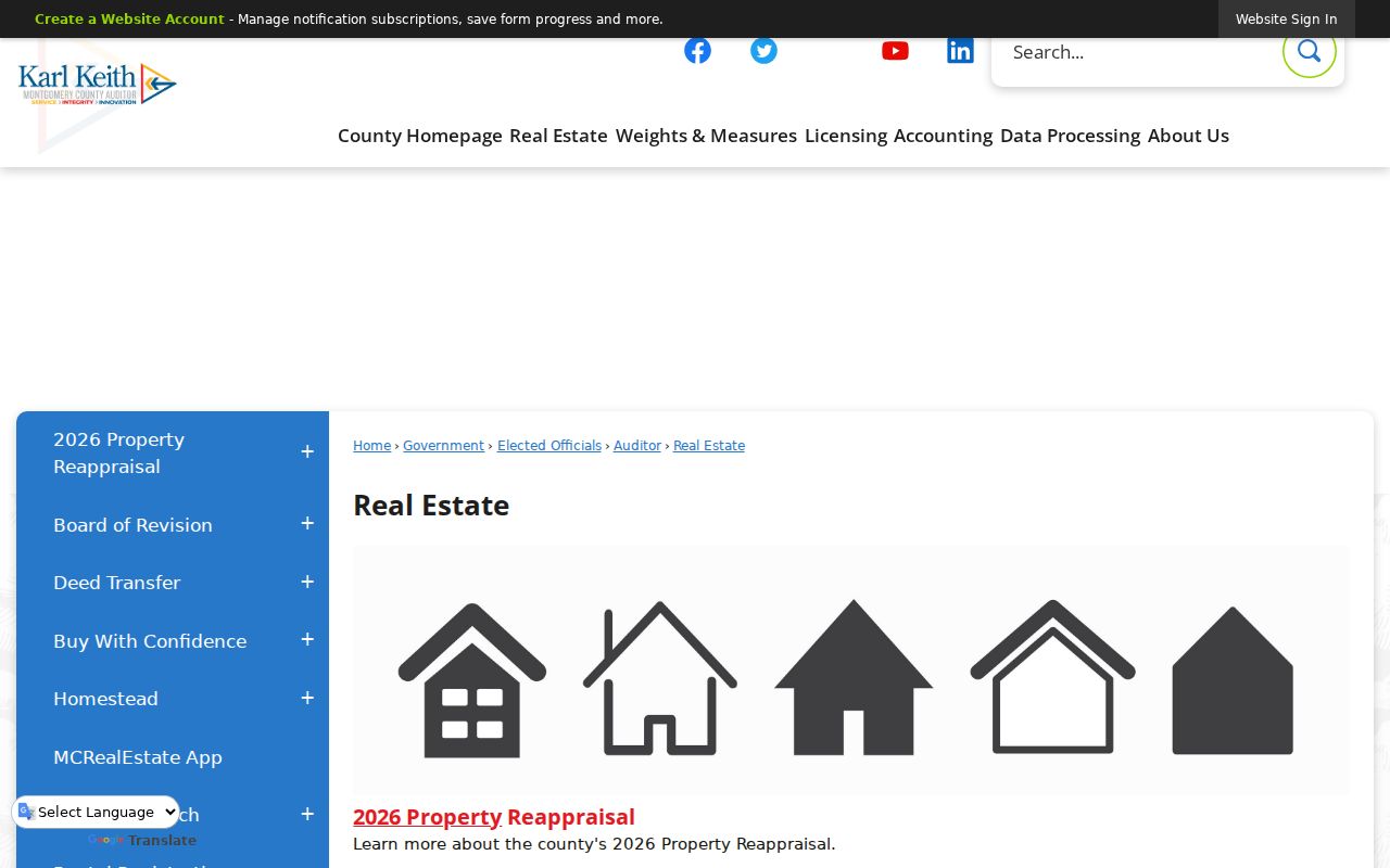
The Auditor resource page is the county entry point for property search, GIS, deed-transfer material, and related real-estate services used in a Centerville address trail.
| Auditor field or control | Centerville street use | Recorded format or limit |
|---|---|---|
| Number | Use for one address, or leave blank to browse a street | Optional |
| Street Name | Find parcel locations by street | Do not add a direction or suffix |
| Tax Year | Choose the tax year for the record view | Any, current selections, and successive years through 1980 were exposed during research |
| Owner | Check a listed owner or mailing party | Surname first, 25 characters, with * wildcard support |
| Parcel ID | Return to one known parcel | Format such as O68 01829 0040 |
| Advanced criteria | Refine a property query | Includes address street, parcel ID, land-use code, tax year, sale date, and price |
Note: A listing owner or tax-mailing party is a property-record role, not proof that the person currently lives at the Centerville address.
Centerville Street Parcels on the Map
For a block-level view, combine the Auditor-linked county GIS with the City of Centerville map tools. The city zoning parcel map is built around parcel information rather than a public street-name or ZIP form. Its ParcelNumber starts-with search requires the spaces in a parcel number. The exposed fields include ParcelNumber, OwnerName, OwnerAddress, OwnerAddress2, and Property_Address. A blank owner-address field is simply a blank field, not a separate conclusion about confidentiality or occupancy.
The Centerville City Maps route shows the local map entry points.
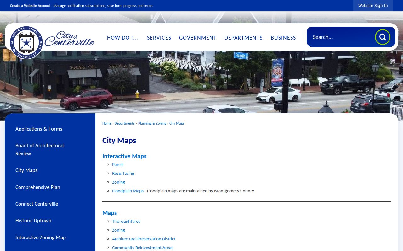
Map selection can place a Centerville parcel in its immediate physical context before each selected parcel is checked against the county property record.
The city configuration supports point, line, polyline, extent, circle, and polygon selection, with buffers in feet, miles, or meters. It can export CSV results and permits map, query, and data use. Select a small area only to identify parcels for separate review. The research did not document a public Centerville street roster, so a spatial result should never be read as a list of all people nearby.
- Parcel
- A distinct tract of land in the Centerville property system, identified by a Parcel ID and mapped boundaries.
- Situs address
- The physical Centerville property location used to identify the parcel; it can differ from the tax mailing address.
- Plat
- A recorded map or plan that can identify a subdivision, lots, and other land-description details.
- Criss-cross directory
- An address-to-name directory format. Its Centerville coverage must be confirmed for the particular edition.
Centerville Records by Street Address
A Centerville street directory is more accurate when each address-keyed source has a defined function. The Auditor and GIS establish parcel context. RISS identifies recorded-document parties and references. City material can date a permit, planning case, or right-of-way project. Historical directories give a time-stamped printed address lead. The Ohio voter system is narrower: it is an individual registration lookup and not a public block-browsing tool. The table separates those uses so that a real address trail is not turned into a claim about a whole street.
| Address record | Centerville question it can answer | Custodian and access | Boundary |
|---|---|---|---|
| Property search and GIS | Which parcel matches the physical location? | Montgomery County Auditor online search and GIS | Shows property context, not a complete person list |
| Recorder RISS | Which recorded instruments and parties connect to the parcel? | Online guest search or Recorder counter | Party role and document type must be read before describing a transfer |
| Centerville permits and planning | Was a described project, case, plat, or right-of-way record created? | Portal where applicable, in-person counter, or a bounded public-records request | Project records do not establish current presence at the address |
| Haines criss-cross directory | Who was printed at an address in one edition? | Dayton Room, with edition and area coverage confirmed first | A dated editorial listing is not continuous residency evidence |
| Ohio voter lookup | What current registration information is returned for one person? | Official individual lookup or Board of Elections channel | Not documented as a public street-by-street roster |
When an online trail stops, use the access channel that holds the record. The Recorder counter is at 451 W. Third St. in Dayton, and the city policy permits inspection of existing, non-exempt Centerville records during regular business hours. A request should name the record category, address, and date range rather than ask the city to create a new compilation.
RISS Routes for Centerville Streets
RISS has more useful paths than a simple name box. Its By Municipality menu includes CENTERVILLE and can be narrowed by lot and dates. By Subdivision is useful once a recorded subdivision is known. By STR works from section, township, and range, while By Book/Page and By Pre 1980 give older-document routes. The system also offers By Type, By Instrument, By Fiche, By Date, Certified Dates, and veterans-grave search. These modes matter because a deed, plat, mortgage, release, easement, or lien names parties for different reasons.
Open the RISS municipality search to see the Centerville route.
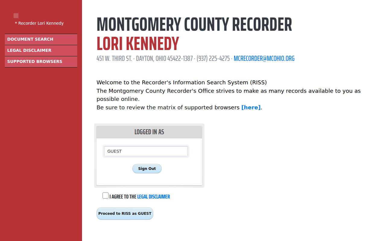
The municipality screen is a practical bridge from a Centerville street or parcel trail to the Recorder's indexed documents.
For the older-reference route, open the RISS Book/Page search.
The Book/Page form supplies a Centerville records route when an earlier volume and page reference are already known.
For older references, the Book/Page form requires a book or book prefix and a page. The pre-1980 form has 1971 through 1979 choices, a numeric number, and deed or mortgage categories. Older county holdings may need the Recorder counter or the Records Center & Archives instead. The research did not preserve an opened deed result schema, so the record should be read directly rather than assumed to contain a standard set of display fields.
Note: A RISS result identifies a recorded document trail; the displayed party, type, and reference determine what a Centerville hit can show.
Centerville Street Permit Records
Municipal records can add a project history to a Centerville street address. The city lists building approvals, zoning permits for items such as fences, additions, pools, decks, patios, signage, and new businesses, plus public-works permits for driveway aprons, sidewalks, utility work, excavation, and street-tree irrigation. Those records can carry an applicant, contractor, owner, work description, or project date if the released document contains it. They do not become an occupancy record merely because they name a contact.
Start with Centerville permits, forms, and licenses, then use Planning & Zoning for the applicable channel.
Planning and zoning cases, record plats, and appeals require an in-person application. Other applicable work can use the online permitting portal, where an account is needed to track status. For older work, a specific request to the Clerk of Council or Planning Department may be more useful than a live portal search. The Municipal Building contact is 937-433-7151, and Planning & Zoning lists 937-428-4760.
Centerville Street Directory Postal Labels
Postal labels should not be used as a shortcut for the county record trail. Centerville and Washington Township are separate governments commonly understood as one community, so a record may carry a Centerville, Washington Township, Montgomery County, or postal designation. The active Municipal Building address uses 45458, but the reviewed research did not produce a complete authoritative ZIP-boundary table for all of Centerville. Verify any delivery address with the USPS ZIP Code Lookup and compare map context before relying on a postal label.
Auditor and Recorder work keys on situs, parcel, subdivision, or legal description, not on a documented ZIP filter. For a historical address, the printed form in a directory edition can differ again. Keep the original address wording and the legal description together when tracing a Centerville property through changing record systems.
Note: No verified Centerville street-renumbering date or ZIP-specific property-search filter was located, so neither should be inferred from a present address.
Centerville Street Directory in Print
Modern parcel tools do not replace the historical address lead found in a Haines criss-cross directory. Haines is an address-to-name format, but the Dayton catalog does not publish its dates, and each edition's geographic reach must be checked before it is used for a Centerville address. Dayton Metro Library's Dayton Room holds more than two centuries of regional books, maps, newspapers, microfilm, and genealogy material. It is on the Main Library's second floor, with listed hours Monday through Thursday from noon to 4 p.m. and other times by appointment.
Ask staff for an edition, its street coverage, and a copy or inspection route. The address result should then be compared with a property or deed date, not treated as proof of an uninterrupted household. The historical collections themselves, publishers, and edition runs are described in the Centerville city directory material, while this street directory stays focused on the address-to-parcel chain.
Centerville Street Records by Era
Centerville's record trail changes with the age of the neighborhood. The city identifies 1959 through 1979 as the dominant construction period for current neighborhoods, while the historic core at Main and Franklin reaches back to the 1796 plat. A postwar address is more likely to have a practical chain of permits, property records, suburban directories, and recorded deeds. An early address may require a legal description, tract research, deed books, church or cemetery context, and archives material before a modern street form makes sense.
That difference is useful when choosing the next Centerville source. The Montgomery County Records Center & Archives has deeds from 1805 through 1933 and a deed index from 1805 through 1928, while its materials are requested through a computer-assisted index and inspected or copied in the research area. A street name alone may not reach the older trail.
Limits of a Centerville Street Directory
A Centerville street directory cannot show every person associated with an address. Private utility, delivery, and motor-vehicle customer information are not a public street-record fallback. The federal Driver's Privacy Protection Act restricts personal information from motor-vehicle records. Protected voter information and address-confidentiality protections also limit what a public result can show. A missing name may reflect a different record purpose, a data update, an alternate name, a protected status, or no matching record. It is not proof that someone is or is not at an address.
For a correction question, contact the office that maintains the particular record. Do not try to overcome a redaction or a protected result by joining scattered data points. That restraint is part of accurate street-by-street research.